
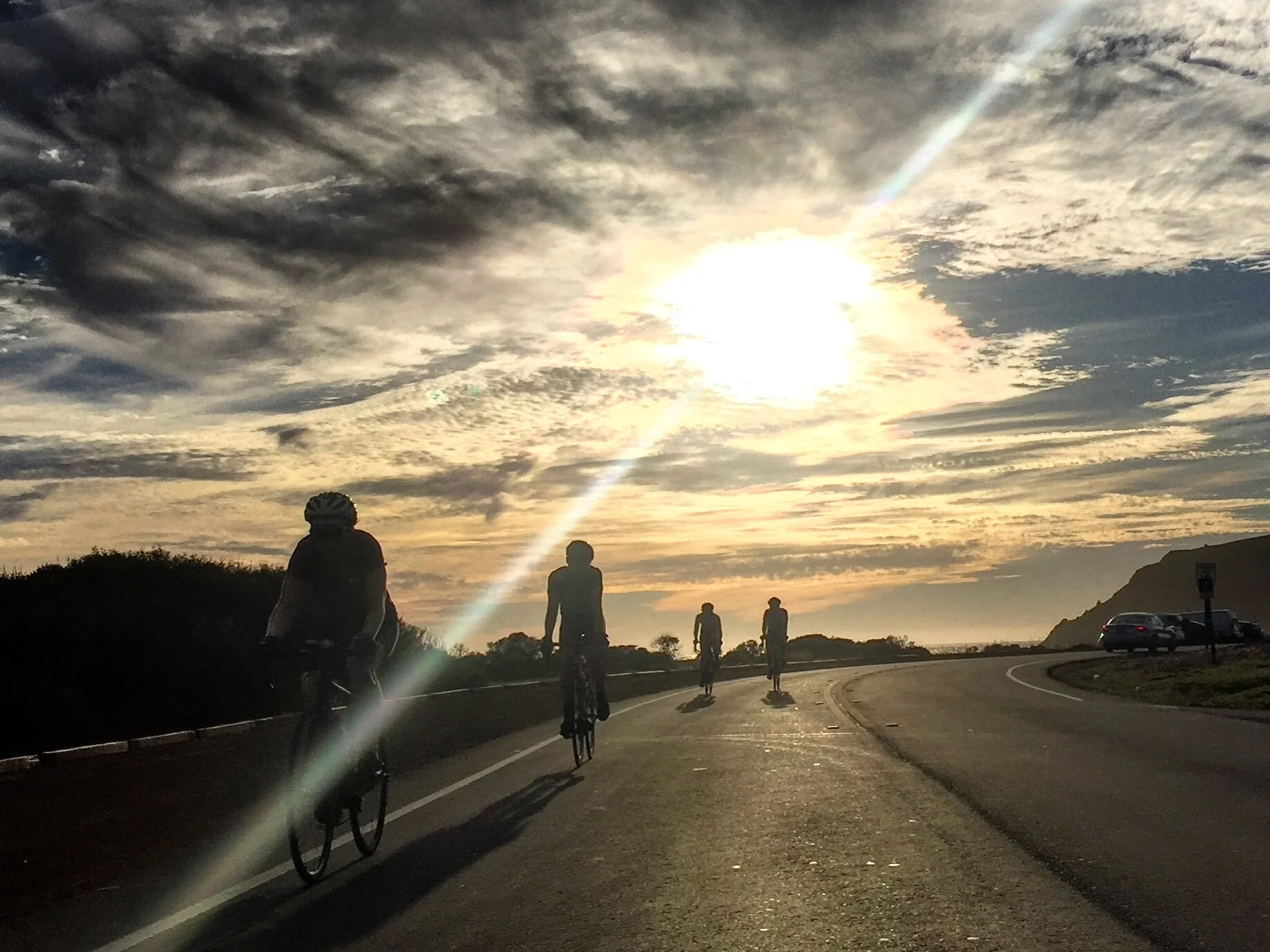
Explore the local roads with us
Bespoke riders club will be in effect soon pending modifications to stay-at-home order 🚲. Join us Saturday mornings for a friendly, no-drop group ride. Meet at the shop at 7:45am for coffee. We leave at 8:15am sharp.
Follow us on Strava for future rides leaving from our shop. Check out some of our favorite local routes detailed below.

Bolinas Fairfax
SF ⤳ Tam Junction ⤳ Stinson ⤳ Seven Sisters
Distance: 86.9km/54 miles
Elevation: 1559m/5114 ft
Strava map ➔ | Strava route cue sheet ➔
This route provides many challenges for seasoned veterans alongside cycling enthusiasts. Distance, punishing climbs, rolling coastal roads and exposed sun drenched climbing. If this sounds like your cup of tea, then we highly recommend this gem of a ride. The turn onto Bolinas Fairfax from Highway 1 has no sign so you have to be on the lookout for it.

Nicasio Reservoir
SF ⤳ GGBridge ⤳ Fairfax ⤳ Nicasio
Distance: 121.6km/75.5 miles
Elevation: 1272m/4173ft
Strava map ➔ | Strava route cue sheet ➔
Looking for relatively flat miles? We recommend the Nicasio reservoir loop. Once past the town of Fairfax, this route really opens up with uninterrupted roads perfect for spinning your legs and building base miles with a tempo workout. The only stop is in the town of Nicasio with water and snacks available.

Classic Headlands
SF ⤳ GGBridge
Distance: 32.2km/19.9 miles
Elevation: 594.4m/1950 ft
Strava map ➔ | Strava route cue sheet ➔
All cyclists openly wish for a perfect 1.5 hour training loop complete with climbs, flats, and decents immediately outside their door. Here in San Francisco, we are endlessly spoiled with this exact scenario. The Headlands loop is in our opinion the perfect training and testing ground for whatever conditioning you are spinning your way towards.
Mt Tamalpais
SF ⤳ GGBridge ⤳ Sausalito ⤳ Mill Valley
Distance: 76.1km/47 miles
Elevation: 1421m/4662 ft
Strava map ➔ | Strava route cue sheet ➔
You’ve seen it. That looming peak on your way north through Marin. For many cyclists this is a benchmark in their riding career. By now, you have logged countless journeys up Hawk Hill and so many laps around Paradise that you are finally ready to test yourself with a significant climb. Mount Tamalpais is the perfect choice. Its proximity to the city will allow you to put all your effort into this climb.

Four Corners
SF ⤳ GGBridge ⤳ Sausalito ⤳ Mill Valley
Distance: 48.4km/30.1 miles
Elevation: 662.6m/2174 ft
Strava map ➔ | Strava route cue sheet ➔
Looking to log 30 miles, get a legitimate climb in and still be to work by 9am? The Four Corners loop provides a great opportunity to experience a bit more of Marin taking you through the towns of Sausalito and Mill Valley culminating with a climb up to Four Corners. This intersection of Muir Woods Rd., Sequoia Valley Rd., and Panoramic Highway is not only a beautiful vista point but marks a starting point for many longer rides. Heading back to the city from here gives you a nice taste of your current fitness level when deciding on tackling bigger routes.

Paradise Loop
SF ⤳ GGBridge ⤳ Sausalito ⤳ Corte Madera ⤳ Tiburon
Distance: 67.1km/41.7 miles
Elevation: 702.9m/2306 ft
Strava map ➔ | Strava route cue sheet ➔
Minimal traffic, rolling roads, and fantastic scenery mark this route’s selling points. We love this ride as the perfect Sunday recovery ride after a long brutal Saturday. Its easy flow and lack of traffic stops let us spin our legs at whatever pace necessary. This route is also terrific for new cyclists that are looking to build their endurance level. Use it as a training tool to build a solid base for your body to strengthen.